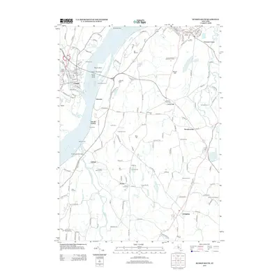
2013 Map of Hudson South
USGS Topo · Published 2013About this map
Catskill sits at the confluence of the Hudson River and Catskill Creek, serving as a focal point for this survey of Columbia and Greene Counties. The landscape is defined by its deep historical roots, notably the Olana State Historic Site perched overlooking the river valley. The eastern shore is characterized by a mix of agricultural legacies and institutional development, from Smith Farms and Fix Brothers Farm to the Columbia-Greene Community College campus.
Find a feature on this map
66 named features on this map. Tap any name to fly to it.
Don’t see what you’re looking for? This feature index may not catch every label — zoom into the map to look around manually.
Map Details
Editions of this 2013 Hudson South Map
This is the sole edition of this map. No revisions or reprints were ever made.
Other maps of this area

1893 · Coxsackie
USGS Topo · 1:62,500

1894 · Coxsackie
USGS Topo · 1:62,500

1895 · Catskill
USGS Topo · 1:62,500

1902 · Copake
USGS Topo · 1:62,500

1903 · Kinderhook
USGS Topo · 1:62,500

1904 · Copake
USGS Topo · 1:62,500

1929 · Coxsackie
USGS Topo · 1:62,500

1933 · Kinderhook
USGS Topo · 1:62,500

1934 · Catskill
USGS Topo · 1:62,500

1938 · Catskill
USGS Topo · 1:62,500