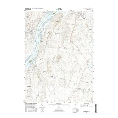
2016 Map of Hudson South
USGS Topo · Published 2016About this map
Hudson and Catskill anchor this reach of the river where the Rip Van Winkle Bridge and Hudson River Bridge span the water. The landscape is a complex of tidal creeks and prominent elevations, such as Mt Merino and the Becraft Hills, which overlook the significant riverside marshes of South Bay and Rogers Island. Land use patterns here reflect a deep colonial and industrial history, from the historic grounds of the Olana State Historic Site to the smaller settlements of Linlithgo, Greendale, and Germantown. Waterways like the Roeliff Jansen Kill and Claverack Creek define the interior, supporting a network of rural roads and bridges including the Roeliff Jansenkill Bridge. Genealogy and local history researchers will find numerous established burial grounds, including the Hudson City Cem, Livingston Reformed Cem, and the Catskill Village Cem.
Find a feature on this map
149 named features on this map. Tap any name to fly to it.
Don’t see what you’re looking for? This feature index may not catch every label — zoom into the map to look around manually.
Map Details
Editions of this 2016 Hudson South Map
This is the sole edition of this map. No revisions or reprints were ever made.
Other maps of this area

1893 · Coxsackie
USGS Topo · 1:62,500

1894 · Coxsackie
USGS Topo · 1:62,500

1895 · Catskill
USGS Topo · 1:62,500

1902 · Copake
USGS Topo · 1:62,500

1903 · Kinderhook
USGS Topo · 1:62,500

1904 · Copake
USGS Topo · 1:62,500

1929 · Coxsackie
USGS Topo · 1:62,500

1933 · Kinderhook
USGS Topo · 1:62,500

1934 · Catskill
USGS Topo · 1:62,500

1938 · Catskill
USGS Topo · 1:62,500