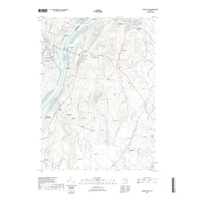
2019 Map of Hudson South
USGS Topo · Published 2019About this map
The Hudson River dominates this corridor, serving as the topographical and historical divide between Greene and Columbia Counties. On the western bank, the village of Catskill serves as a focal point, while the eastern shore is defined by the significant architectural and landscape legacy of the Olana State Historic Site perched near Church Hill. The transportation network is anchored by the Rip Van Winkle Brg and the Hudson River Bridge, facilitating movement across the water near Rogers Island.
Find a feature on this map
92 named features on this map. Tap any name to fly to it.
Don’t see what you’re looking for? This feature index may not catch every label — zoom into the map to look around manually.
Map Details
Editions of this 2019 Hudson South Map
This is the sole edition of this map. No revisions or reprints were ever made.
Other maps of this area

1893 · Coxsackie
USGS Topo · 1:62,500

1894 · Coxsackie
USGS Topo · 1:62,500

1895 · Catskill
USGS Topo · 1:62,500

1902 · Copake
USGS Topo · 1:62,500

1903 · Kinderhook
USGS Topo · 1:62,500

1904 · Copake
USGS Topo · 1:62,500

1929 · Coxsackie
USGS Topo · 1:62,500

1933 · Kinderhook
USGS Topo · 1:62,500

1934 · Catskill
USGS Topo · 1:62,500

1938 · Catskill
USGS Topo · 1:62,500