
Loading...
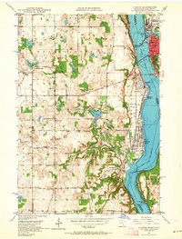
Loading map...1949 Map of Hudson
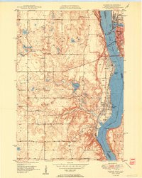
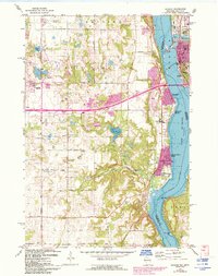
USGS Topo · Published 1949About this map
Hudson and its northern neighbor, North Hudson, anchor the upper reaches of this 1940s survey along the Wisconsin-Minnesota border. The geography is defined by the winding course of Lake St Croix as it flows south toward its confluence with the Mississippi River at Prescott. The transport network of the era is dominated by the Chicago St Paul Minneapolis and Omaha railroad, which traces the shoreline and crosses the water at the river's narrows.
Find a feature on this map
14 named features on this map. Tap any name to fly to it.
Don’t see what you’re looking for? This feature index may not catch every label — zoom into the map to look around manually.
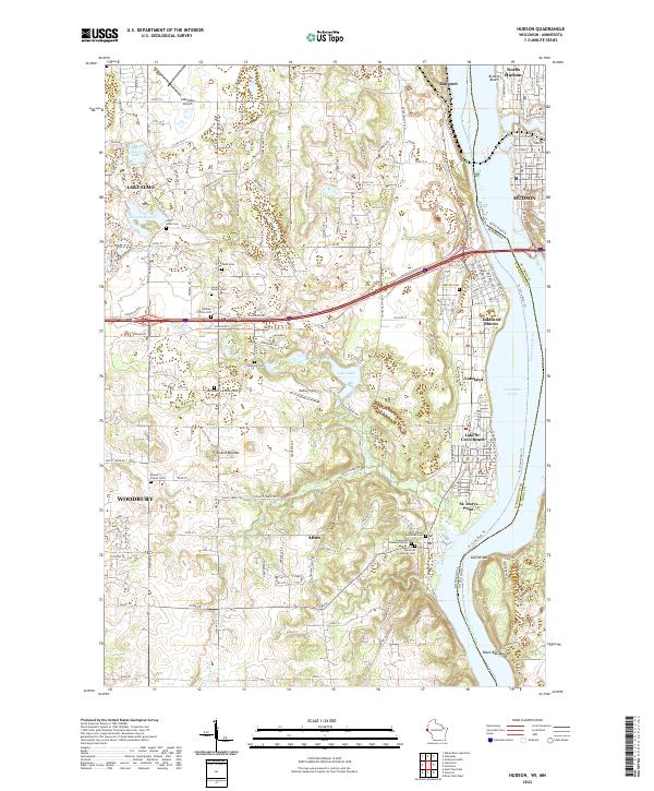
Map Details
Date Portrayed1949
Date Published1949
PublisherU.S. Geological Survey
Map TypeTopographic
Scale1:62500
Physical Dimensions15.8 x 20.8 inches
Editions of this 1949 Hudson Map
This is the sole edition of this map. No revisions or reprints were ever made.
Historical Maps of Vista Hills Through Time
6 maps found

Featured Locations
Source Details
SourceU.S. Geological Survey
CopyrightPublic Domain