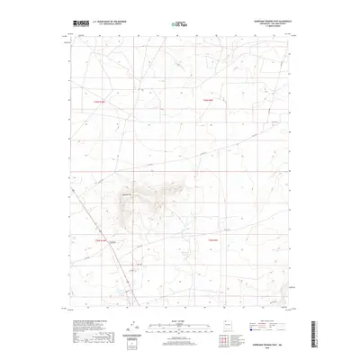
2020 Map of Huerfano Trading Post
USGS Topo · Published 2020About this map
Huerfano Mtn rises as the dominant landmark in this high desert landscape within the Eastern Navajo Agency, serving as a critical point of orientation in San Juan County. The 2020 survey illustrates a region defined by a sparse but structured network of rural routes, including Co Rd 7425 and Co Rd 7575, which converge near the namesake Huerfano Trading Post. This location reflects the long-standing importance of trading centers in facilitating commerce and community connection across the expansive Navajo Nation. Terrain features like Blanco Wash indicate the drainage patterns that dictate the placement of roads and settlements in this arid environment. The map captures the intersection of traditional land use and modern infrastructure, evidenced by the presence of Is Rt 7023 and various county roads that thread through the open range.
Find a feature on this map
16 named features on this map. Tap any name to fly to it.
Don’t see what you’re looking for? This feature index may not catch every label — zoom into the map to look around manually.
Map Details
Editions of this 2020 Huerfano Trading Post Map
This is the sole edition of this map. No revisions or reprints were ever made.
Other maps of this area

1889 · Largo
USGS Topo · 1:250,000

1895 · Largo
USGS Topo · 1:250,000

1954 · Aztec
USGS Topo · 1:250,000

1958 · Aztec
USGS Topo · 1:250,000

1959 · Gould Pass
USGS Topo · 1:62,500

1959 · Nageezi
USGS Topo · 1:62,500

1960 · Bloomfield
USGS Topo · 1:62,500

1962 · Aztec
USGS Topo · 1:250,000

1965 · Aztec
USGS Topo · 1:250,000
1966 · Huerfano Trading Post SW
USGS Topo · 1:24,000
Featured Places
- Eastern Navajo Agency, NM
- Huerfano Trading Post, NM
- Dzilth-Na-O-Dith-Hle, NM
- San Juan County, NM
- United States