
1916 Map of Huffman
USGS Topo · Published 1916About this map
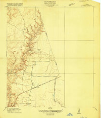
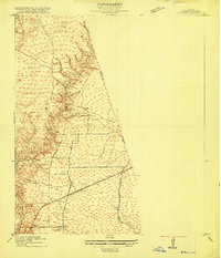
Huffman serves as the central settlement in this early 20th-century survey of the Harris and Liberty County borderlands. The landscape is defined by the sharp transition between the flat coastal prairies and the intricate drainage networks of Luce Bayou and Cedar Bayou. These waterways cut deep, winding paths across the terrain, creating a complex series of ridges and ravines that contrast with the open country to the south. Transportation through this part of East Texas was anchored by the Beaumont Sour Lake and Western railroad, which provided a vital link for the local economy during a period of agricultural and timber development. The map meticulously records the elevation changes along the bayou breaks, offering a clear view of the natural topography before extensive modern drainage and suburban expansion altered the Harris County plains.
Find a feature on this map
7 named features on this map. Tap any name to fly to it.
Don’t see what you’re looking for? This feature index may not catch every label — zoom into the map to look around manually.
Map Details
Editions of this 1916 Huffman Map
3 editions found
Other maps of this area

1916 · Crosby
USGS Topo · 1:24,000

1916 · Harmaston
USGS Topo · 1:24,000

1916 · Moonshine Hill
USGS Topo · 1:24,000

1919 · Crosby
USGS Topo · 1:31,680

1920 · Harmaston
USGS Topo · 1:31,680

1920 · Moonshine Hill
USGS Topo · 1:31,680

1920 · Huffman
USGS Topo · 1:31,680

1943 · Liberty
USGS Topo · 1:125,000
1944 · Crosby
USGS Topo · 1:31,680
1944 · Harmaston
USGS Topo · 1:31,680