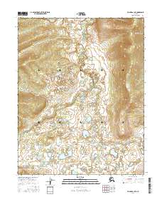
2016 Map of Hughes A-1 NE
USGS Topo · Published 2016About this map
Mentanontli River winds through the heart of this Yukon-Koyukuk landscape, serving as the central drainage for an intricate network of waterways. The terrain is defined by the convergence of several streams, including Slathtouka Cr and Notonjono Cr, which feed into the main river system from the surrounding highlands. This 2016 survey illustrates the remote interior of Alaska, where the natural water courses determine the local topography. Further south, the map identifies Hoyadazzitletno Cr and Githuidunka Cr, highlighting the complex hydrologic patterns of the region. The lack of roads or established settlements on this sheet emphasizes the pristine and untouched character of this Alaskan wilderness area, preserving the same water-bound geography known to generations of local inhabitants.
Find a feature on this map
11 named features on this map. Tap any name to fly to it.
Don’t see what you’re looking for? This feature index may not catch every label — zoom into the map to look around manually.
Map Details
Editions of this 2016 Hughes A-1 NE Map
This is the sole edition of this map. No revisions or reprints were ever made.
Other maps of this area

1951 · Hughes
USGS Topo · 1:250,000

1951 · Bettles
USGS Topo · 1:250,000

1955 · Hughes A-1
USGS Topo · 1:63,360

1956 · Hughes
USGS Topo · 1:250,000

1956 · Bettles
USGS Topo · 1:250,000

1964 · Hughes
USGS Topo · 1:250,000

1965 · Hughes
USGS Topo · 1:250,000
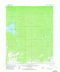
1970 · Bettles A-6
USGS Topo · 1:63,360
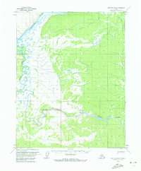
1970 · Bettles B-6
USGS Topo · 1:63,360
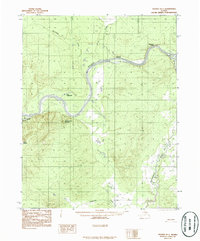
1986 · Hughes B-1
USGS Topo · 1:63,360