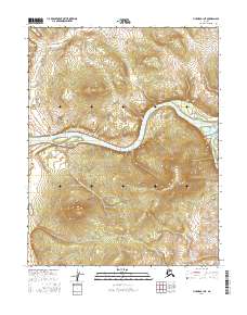
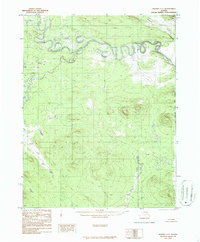
2016 Map of Hughes B-1 NE
USGS Topo · Published 2016About this map
The Koyukuk River dominates this interior landscape, carving a wide path through the central portion of the quadrangle. Along its northern bank, the dramatic rise of Klathluyit Bluff provides a distinct geographic landmark overlooking the river's winding course. This 2016 survey captures the confluence of major waterways and the expansive terrain of the Yukon-Koyukuk region, where the Kanuti River enters from the east. The map detail reflects a wilderness environment shaped by hydraulic forces, with Henry Cr draining the northern heights. The presence of these named water bodies and bluffs amidst a vast network of section lines highlights the region's importance for navigation and natural resource management in Alaska's interior.
Find a feature on this map
10 named features on this map. Tap any name to fly to it.
Don’t see what you’re looking for? This feature index may not catch every label — zoom into the map to look around manually.
Map Details
Editions of this 2016 Hughes B-1 NE Map
This is the sole edition of this map. No revisions or reprints were ever made.
Other maps of this area

1951 · Hughes
USGS Topo · 1:250,000

1951 · Bettles
USGS Topo · 1:250,000

1956 · Hughes
USGS Topo · 1:250,000

1956 · Bettles
USGS Topo · 1:250,000

1964 · Hughes
USGS Topo · 1:250,000

1965 · Hughes
USGS Topo · 1:250,000
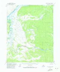
1970 · Bettles B-6
USGS Topo · 1:63,360
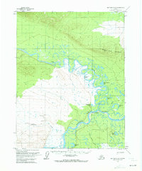
1970 · Bettles C-6
USGS Topo · 1:63,360
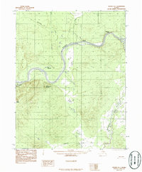
1986 · Hughes B-1
USGS Topo · 1:63,360
1986 · Hughes C-1
USGS Topo · 1:63,360