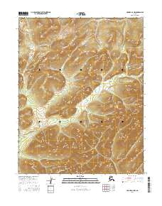
2016 Map of Hughes B-2 NW
USGS Topo · Published 2016About this map
Hughes Cr carves through the interior of the Yukon-Koyukuk region, defining a landscape of high ridges and narrow drainage basins. This interior Alaskan terrain is characterized by steep elevation changes, with the flow of Red Mountain Cr marking the southern boundary of the quadrangle. The map documents the intricate topographical contours of several unnamed peaks, reflecting the wilderness character of the area north of the Arctic Circle. The township and range lines, including t12n r23e and t12n r24e, provide the primary structural framework for this remote section of the Alaskan interior, where natural watercourses remain the most prominent landmarks.
Find a feature on this map
8 named features on this map. Tap any name to fly to it.
Don’t see what you’re looking for? This feature index may not catch every label — zoom into the map to look around manually.
Map Details
Editions of this 2016 Hughes B-2 NW Map
This is the sole edition of this map. No revisions or reprints were ever made.
Other maps of this area

1951 · Hughes
USGS Topo · 1:250,000

1956 · Hughes
USGS Topo · 1:250,000

1964 · Hughes
USGS Topo · 1:250,000

1965 · Hughes
USGS Topo · 1:250,000
1986 · Hughes C-3
USGS Topo · 1:63,360
1986 · Hughes B-2
USGS Topo · 1:63,360
1986 · Hughes B-3
USGS Topo · 1:63,360
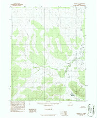
1986 · Hughes C-2
USGS Topo · 1:63,360
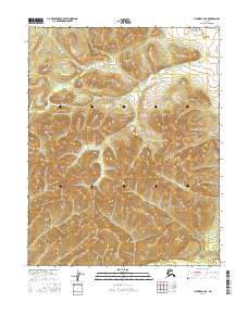
2016 · Hughes B-2 NE
USGS Topo · 1:25,000
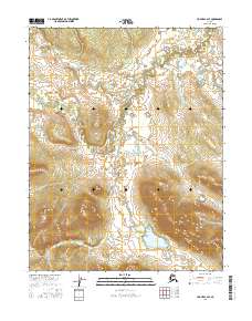
2016 · Hughes C-2 SE
USGS Topo · 1:25,000