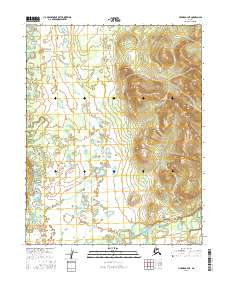
2016 Map of Hughes B-4 NE
USGS Topo · Published 2016About this map
Hogatza River meanders across the southern reaches of this interior landscape, defining the low-lying drainage patterns of the region. The terrain is characterized by a complex network of wetlands and small ponds, particularly concentrated in the western sections where Klakhtetozna Creek flows south. These waterways suggest a seasonal pulse of the landscape, as the slow-moving river and its tributaries, including Gukhzna Creek, carve through the sediment of the valley floor. In the eastern portion of the map, the elevation rises sharply into a series of ridges and peaks, providing a stark topographical contrast to the saturated flats. This 2016 survey documents the untouched natural hydrology of the Yukon-Koyukuk region, where the lack of roads and settlements emphasizes the primacy of the river systems as the core features of the geography.
Find a feature on this map
9 named features on this map. Tap any name to fly to it.
Don’t see what you’re looking for? This feature index may not catch every label — zoom into the map to look around manually.
Map Details
Editions of this 2016 Hughes B-4 NE Map
This is the sole edition of this map. No revisions or reprints were ever made.
Other maps of this area

1951 · Hughes
USGS Topo · 1:250,000

1956 · Hughes
USGS Topo · 1:250,000

1964 · Hughes
USGS Topo · 1:250,000

1965 · Hughes
USGS Topo · 1:250,000
1986 · Hughes B-4
USGS Topo · 1:63,360
1986 · Hughes C-3
USGS Topo · 1:63,360
1986 · Hughes C-4
USGS Topo · 1:63,360
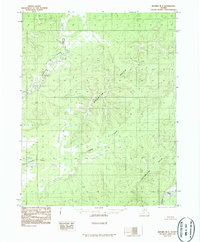
1986 · Hughes B-3
USGS Topo · 1:63,360
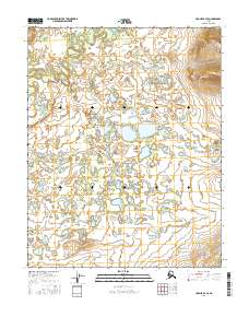
2016 · Hughes B-4 SE
USGS Topo · 1:25,000
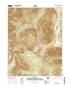
2016 · Hughes B-4 NW
USGS Topo · 1:25,000