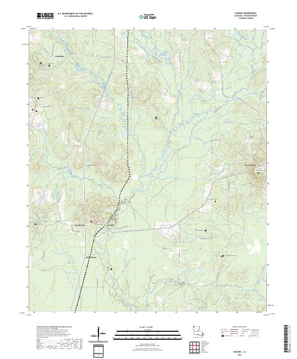
2024 Map of Hughes
USGS Topo · Published 2024About this map
Collinsburg and Rocky Mount anchor the northern reaches of this Bossier Parish landscape, where the terrain is marked by a network of local roads and numerous family and community burial grounds. The settlement pattern reveals small clusters such as Swindleville, Hughes, and Alden Bridge connected by routes like Hwy 160 and Rocky Mount Rd. The area's genealogical history is particularly well-preserved through its scattered cemeteries, including Caney Creek Cem, Collinsburg Cem, and the remote Aiken Cem.
Find a feature on this map
51 named features on this map. Tap any name to fly to it.
Don’t see what you’re looking for? This feature index may not catch every label — zoom into the map to look around manually.
Map Details
Editions of this 2024 Hughes Map
This is the sole edition of this map. No revisions or reprints were ever made.
Other maps of this area
1932 · Hosston NE
USGS Topo · 1:31,680
1932 · Bossier NE
USGS Topo · 1:31,680
1932 · Hosston SE
USGS Topo · 1:31,680
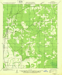
1932 · Bossier NW
USGS Topo · 1:31,680
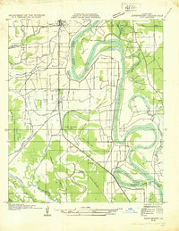
1932 · Shreveport NE
USGS Topo · 1:31,680
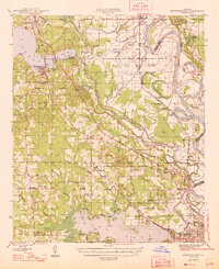
1948 · Mooringsport
USGS Topo · 1:62,500
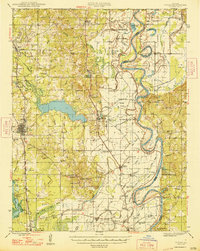
1948 · Vivian
USGS Topo · 1:62,500
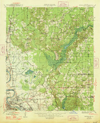
1948 · Bossier City
USGS Topo · 1:62,500
1950 · Plain Dealing SW
USGS Topo · 1:31,680
1950 · Plain Dealing NE
USGS Topo · 1:31,680