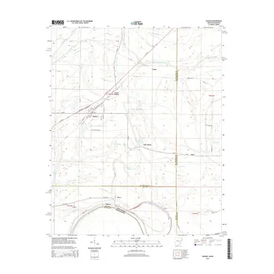
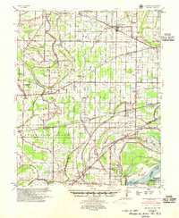
2014 Map of Hughes
USGS Topo · Published 2014About this map
Hughes and its surrounding agricultural communities define this segment of the Delta near the Arkansas and Mississippi border. This 2014 survey captures a landscape carved by winding waterways and established road networks, including US 79 Hwy S and Ar-38. The town center of Hughes is detailed with local streets like Main St and S Broadway St, while nearby North Hughes and the residential area of Belle Meade illustrate the regional settlement pattern.
Find a feature on this map
60 named features on this map. Tap any name to fly to it.
Don’t see what you’re looking for? This feature index may not catch every label — zoom into the map to look around manually.
Map Details
Editions of this 2014 Hughes Map
This is the sole edition of this map. No revisions or reprints were ever made.
Other maps of this area

1931 · Horseshoe Lake
USGS Topo · 1:62,500
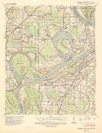
1939 · Horseshoe Lake
USGS Topo · 1:62,500
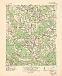
1939 · Park Place
USGS Topo · 1:62,500

1939 · Edmondson
USGS Topo · 1:62,500

1940 · Whitmore
USGS Topo · 1:62,500

1948 · Helena
USGS Topo · 1:250,000

1950 · Helena
USGS Topo · 1:250,000

1953 · Memphis
USGS Topo · 1:250,000
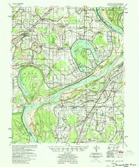
1954 · Horseshoe Lake
USGS Topo · 1:62,500
1954 · Edmondson
USGS Topo · 1:62,500