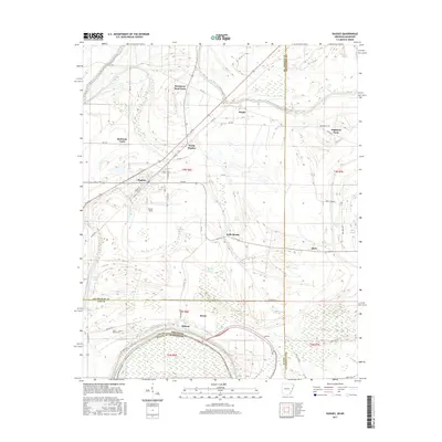
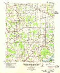
2017 Map of Hughes
USGS Topo · Published 2017About this map
Hughes and its surrounding agricultural landscape dominate this eastern Arkansas survey, positioned where the boundaries of St. Francis, Lee, and Crittenden counties converge. The town's grid is centered near North Hughes and Tucker Field, surrounded by large-scale agricultural operations including Red Gum Farm, Sycamore Bend Farm, and Highland Farm. These named farms reflect the enduring plantation and farming heritage of the Delta region, where the terrain is intricately drained by a network of bayous and lakes.
Find a feature on this map
64 named features on this map. Tap any name to fly to it.
Don’t see what you’re looking for? This feature index may not catch every label — zoom into the map to look around manually.
Map Details
Editions of this 2017 Hughes Map
This is the sole edition of this map. No revisions or reprints were ever made.
Other maps of this area

1931 · Horseshoe Lake
USGS Topo · 1:62,500
1939 · Horseshoe Lake
USGS Topo · 1:62,500
1939 · Park Place
USGS Topo · 1:62,500

1939 · Edmondson
USGS Topo · 1:62,500

1940 · Whitmore
USGS Topo · 1:62,500

1948 · Helena
USGS Topo · 1:250,000

1950 · Helena
USGS Topo · 1:250,000

1953 · Memphis
USGS Topo · 1:250,000
1954 · Horseshoe Lake
USGS Topo · 1:62,500
1954 · Edmondson
USGS Topo · 1:62,500