Loading...
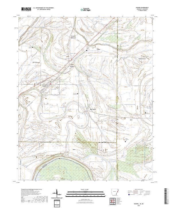
Loading map...2024 Map of Hughes
USGS Topo · Published 2024About this map
Hughes serves as the primary hub of this landscape, situated near the intersection of S Broadway St and Main St. The surrounding countryside is defined by a dense network of drainage and bayous, including Fifteenmile Bayou and Crooked Bayou, which wind through the agricultural tracts. Named farming operations like Sycamore Bend Farm, Red Gum Farm, and Highland Farm suggest a long-standing reliance on the rich delta soil between the Mississippi and St. Francis rivers.
Find a feature on this map
64 named features on this map. Tap any name to fly to it.
Don’t see what you’re looking for? This feature index may not catch every label — zoom into the map to look around manually.
Map Details
Date Portrayed2024
Date Published2024
PublisherU.S. Geological Survey
Map TypeTopographic
Scale1:24000
Physical Dimensions24 x 29 inches
Editions of this 2024 Hughes Map
This is the sole edition of this map. No revisions or reprints were ever made.
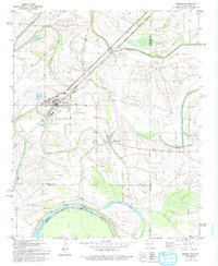
Historical Maps of Reese Through Time
Featured Locations
Source Details
SourceU.S. Geological Survey
CopyrightPublic Domain