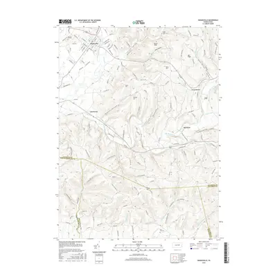
2016 Map of Hughesville
USGS Topo · Published 2016About this map
Hughesville serves as the primary hub at the northern edge of this Lycoming County terrain, situated where Muncy Creek curves through a landscape of narrow valleys and ridges. The grid-like street plan of the town, featuring landmarks like Pleasant Hill Cem, transitions into a countryside defined by deep hollows such as Neufer Hollow and Michael Hollow. To the south, the topography rises into the Muncy Hills, where multiple county and municipal boundaries converge, including the meeting points of Lycoming, Northumberland, Columbia, and Montour counties.
Find a feature on this map
126 named features on this map. Tap any name to fly to it.
Don’t see what you’re looking for? This feature index may not catch every label — zoom into the map to look around manually.
Map Details
Editions of this 2016 Hughesville Map
This is the sole edition of this map. No revisions or reprints were ever made.
Other maps of this area

1924 · Milton
USGS Topo · 1:62,500

1927 · Eagles Mere
USGS Topo · 1:48,000

1930 · Warrensville
USGS Topo · 1:62,500

1932 · Eagle Mere
USGS Topo · 1:62,500

1934 · Warrensville
USGS Topo · 1:62,500

1935 · Hughesville
USGS Topo · 1:62,500

1953 · Hughesville
USGS Topo · 1:62,500

1953 · Warrensville
USGS Topo · 1:62,500

1953 · Eagles Mere
USGS Topo · 1:62,500

1953 · Milton
USGS Topo · 1:62,500
Featured Places
- Moreland Township, PA
- Lewis Township, PA
- Clarkstown, Muncy Creek Township
- Muncy Township, PA
- Hughesville, PA