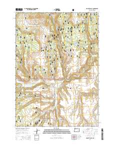
2014 Map of Hughet Valley
USGS Topo · Published 2014About this map
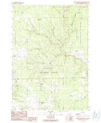
Hughet Valley sits at the intersection of several high-desert drainage systems within the Malhuer National Forest and Ochocho National Forest. This 2014 survey reveals a landscape heavily managed for water and timber, characterized by numerous small-scale water improvements such as Smith Reservoir, Beaverdam Reservoir, and the Lower Buttes Reservoir. The network of interior forest routes like Hines Logging Rd and Burns-Izee Rd underscores the area's history as a working landscape, where springs like Rocking Bar Spring and Seven Up Spring served as vital points in an arid environment.
Find a feature on this map
59 named features on this map. Tap any name to fly to it.
Don’t see what you’re looking for? This feature index may not catch every label — zoom into the map to look around manually.
Map Details
Editions of this 2014 Hughet Valley Map
This is the sole edition of this map. No revisions or reprints were ever made.
Other maps of this area

1955 · Burns
USGS Topo · 1:250,000

1958 · Burns
USGS Topo · 1:250,000

1959 · Burns
USGS Topo · 1:250,000

1959 · West Myrtle Butte
USGS Topo · 1:62,500

1959 · Sawtooth Creek
USGS Topo · 1:62,500

1960 · Burns
USGS Topo · 1:62,500
1981 · Egypt Canyon
USGS Topo · 1:24,000
1981 · Holmes Canyon
USGS Topo · 1:24,000
1990 · Burns NW
USGS Topo · 1:24,000
1990 · Bear Canyon Butte
USGS Topo · 1:24,000