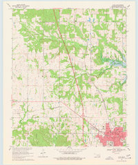
1969 Map of Hugo
USGS Topo · Published 1977About this map
The town of Hugo serves as the focal point of this late 1960s study, displaying a detailed street grid including Main St, Broadway, and Texas Ave. Education and community life are marked by the High Sch, Franklin Sch, and the Choctaw County Courthouse. To the north, the landscape begins to transform with the presence of Hugo Lake at its normal pool elevation of 404 feet, while the Indian Nation Toll Road Turnpike and the Hugo Interchange signal the era's modernizing infrastructure. Rural life remains visible in surrounding settlements like Speer and Kent, along with family-focused landmarks such as Oak Grove Ch and Cooksville Cem. The St Louis-San Francisco railroad tracks bisect the region, connecting the limestone Quarries and the small siding at Everidge to the larger regional economy.
Find a feature on this map
50 named features on this map. Tap any name to fly to it.
Don’t see what you’re looking for? This feature index may not catch every label — zoom into the map to look around manually.
Map Details
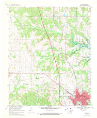
Editions of this 1969 Hugo Map
2 editions found
Other maps of this area

1901 · Antlers
USGS Topo · 1:125,000

1901 · Alikchi
USGS Topo · 1:125,000

1903 · Paris
USGS Topo · 1:125,000

1912 · Antlers
USGS Topo · 1:125,000

1925 · Antlers
USGS Topo · 1:125,000

1948 · Grant
USGS Topo · 1:62,500

1949 · Grant
USGS Topo · 1:62,500

1950 · Mcalester
USGS Topo · 1:250,000

1951 · Shoals
USGS Topo · 1:24,000

1953 · Texarkana
USGS Topo · 1:250,000