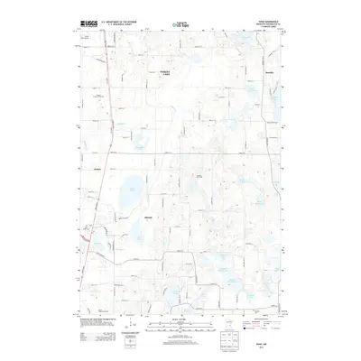
2013 Map of Hugo
USGS Topo · Published 2013About this map
Hugo and Forest Lake define the western corridor of this Minnesota landscape, where the transition from suburban residential development to open wetland and lake country is clear. The area is dense with glacial water bodies, including Oneka Lake, Rice Lake, and the expansive Big Marine Lake along the eastern edge near Scandia. These lakes, alongside winding waterways like Hardwood Cr, shaped the local recreation and settlement patterns visible by the early 2010s.
Find a feature on this map
90 named features on this map. Tap any name to fly to it.
Don’t see what you’re looking for? This feature index may not catch every label — zoom into the map to look around manually.
Map Details
Editions of this 2013 Hugo Map
This is the sole edition of this map. No revisions or reprints were ever made.
Other maps of this area

1902 · White Bear
USGS Topo · 1:62,500

1948 · Stillwater
USGS Topo · 1:62,500

1949 · Stillwater
USGS Topo · 1:62,500

1951 · White Bear Lake East
USGS Topo · 1:24,000

1951 · Stillwater
USGS Topo · 1:24,000

1952 · Centerville
USGS Topo · 1:24,000

1952 · White Bear Lake West
USGS Topo · 1:24,000

1953 · Stillwater
USGS Topo · 1:250,000

1954 · Hugo
USGS Topo · 1:24,000

1955 · Marine
USGS Topo · 1:24,000