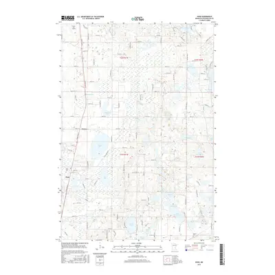
2016 Map of Hugo
USGS Topo · Published 2016About this map
Hugo and the surrounding Washington County landscape are defined by a complex network of glacial kettle lakes and wetlands as they appeared in 2016. Large water bodies such as Oneka Lake, Big Marine Lake, and the connected School Section Lake and N School Section Lake dominate the eastern and central sections of the quadrangle. This era shows the continued suburban development of the region, anchored by the settlement at Weston and the primary transit corridor following the path of Hardwood Cr. Local landmarks provide vital touchstones for genealogists and researchers, including the Saint John's Cem and the Withrow Cem. On the northwestern edge, the Forest Lake Airport highlights the local infrastructure. The map preserves a moment when the area's agricultural past was increasingly intersecting with modern residential expansion, yet the numerous lakes like Sunset Lake and Rice Lake remained the primary topographical features.
Find a feature on this map
71 named features on this map. Tap any name to fly to it.
Don’t see what you’re looking for? This feature index may not catch every label — zoom into the map to look around manually.
Map Details
Editions of this 2016 Hugo Map
This is the sole edition of this map. No revisions or reprints were ever made.
Other maps of this area

1902 · White Bear
USGS Topo · 1:62,500

1948 · Stillwater
USGS Topo · 1:62,500

1949 · Stillwater
USGS Topo · 1:62,500

1951 · White Bear Lake East
USGS Topo · 1:24,000

1951 · Stillwater
USGS Topo · 1:24,000

1952 · Centerville
USGS Topo · 1:24,000

1952 · White Bear Lake West
USGS Topo · 1:24,000

1953 · Stillwater
USGS Topo · 1:250,000

1954 · Hugo
USGS Topo · 1:24,000

1955 · Marine
USGS Topo · 1:24,000