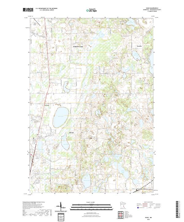
2022 Map of Hugo
USGS Topo · Published 2022About this map
Hugo and the southern reaches of Forest Lake define this portion of Washington County, where suburban expansion meets a complex glacial landscape of wetlands and small basins. The terrain is dominated by water, from the significant expanse of Oneka Lake and Rice Lake to the smaller Egg Lake and Plaisted Lake. This network of basins and the winding course of Hardwood Creek have historically shaped the roads and settlement patterns here, leaving pockets of open space amidst growing residential zones.
Find a feature on this map
106 named features on this map. Tap any name to fly to it.
Don’t see what you’re looking for? This feature index may not catch every label — zoom into the map to look around manually.
Map Details
Editions of this 2022 Hugo Map
This is the sole edition of this map. No revisions or reprints were ever made.
Other maps of this area

1902 · White Bear
USGS Topo · 1:62,500

1948 · Stillwater
USGS Topo · 1:62,500

1949 · Stillwater
USGS Topo · 1:62,500

1951 · White Bear Lake East
USGS Topo · 1:24,000

1951 · Stillwater
USGS Topo · 1:24,000

1952 · Centerville
USGS Topo · 1:24,000

1952 · White Bear Lake West
USGS Topo · 1:24,000

1953 · Stillwater
USGS Topo · 1:250,000

1954 · Hugo
USGS Topo · 1:24,000

1955 · Marine
USGS Topo · 1:24,000