2024 Map of Hulett
USGS Topo · Published 2024About this map
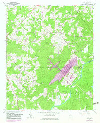
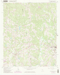
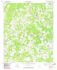
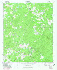
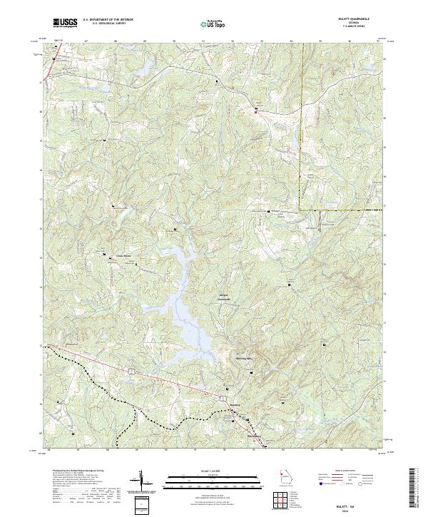
Banning Mills and the surrounding riverine landscape of Snake Creek dominate this contemporary topography of the Georgia Piedmont. The map documents a dense network of early communities and family landmarks, from Dingler Crossroads to the historic settlement of Whitesburg along the southern edge. Researchers will find a high concentration of genealogical sites, including Wilson Chapel Cem, Antioch Cem, and Jordan Memorial Cem. The terrain is characterized by a series of small lakes and creek systems, such as Law Lake and Richards Lake, which supported the early development of Banning. Small private airstrips like Kolibri Airport and Erlen Airport are scattered across the landscape, illustrating the transition from rural agricultural lands to contemporary land use patterns while preserving many of the original church and school site locations.
Find a feature on this map
143 named features on this map. Tap any name to fly to it.
Don’t see what you’re looking for? This feature index may not catch every label — zoom into the map to look around manually.
Map Details
Editions of this 2024 Hulett Map
This is the sole edition of this map. No revisions or reprints were ever made.
Historical Maps of Dingler Crossroads Through Time
9 maps found