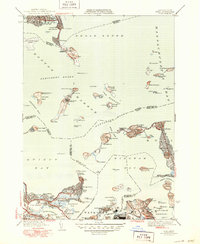
1946 Map of Hull
USGS Topo · Published 1950About this map
Boston Harbor and its outer reaches are defined by a complex network of fortified islands and coastal settlements at the height of the mid-century. This survey highlights the strategic and institutional character of the harbor, from the Long Island Hospital and Ft. Strong on Long Island to the House of Correction and Ft. Dawes on Deer Island. The landscape reflects a mix of maritime defense, public utility, and residential expansion, including the Sewage Disposal plant at Nut Island and the sprawling Logan International Airport near Winthrop.
Find a feature on this map
116 named features on this map. Tap any name to fly to it.
Don’t see what you’re looking for? This feature index may not catch every label — zoom into the map to look around manually.
Map Details
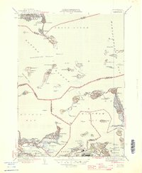
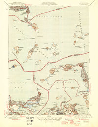
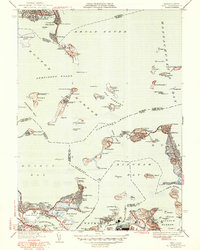
Editions of this 1946 Hull Map
4 editions found
Other maps of this area

1885 · Abington
USGS Topo · 1:62,500

1886 · Dedham
USGS Topo · 1:62,500

1888 · Abington
USGS Topo · 1:62,500

1892 · Boston Bay
USGS Topo · 1:62,500

1893 · Abington
USGS Topo · 1:62,500

1893 · Boston
USGS Topo · 1:62,500

1894 · Dedham
USGS Topo · 1:62,500

1903 · Boston
USGS Topo · 1:62,500

1903 · Boston Bay
USGS Topo · 1:62,500

1919 · Dedham
USGS Topo · 1:62,500