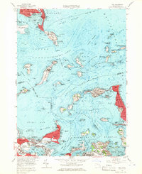
1958 Map of Hull
USGS Topo · Published 1966About this map
Boston Harbor is defined by its complex network of islands and defensive fortifications in this mid-century portrait of the Massachusetts coast. The map highlights the strategic military significance of the era, documenting installations such as Fort Warren US Res on Georges Island and Fort Standish US Res on Lovell Island. The narrow peninsula of Hull stretches toward Pemberton, showcasing the residential growth at Kenberma and Waveland along Nantasket Beach. To the north, the expansion of Logan International Airport sits adjacent to the storied community of Point Shirley. The map also captures institutional landmarks like the Long Island Hospital and the House of Correction on Deer Island, providing a detailed look at the social and maritime infrastructure serving the Boston metropolitan area during the 1950s.
Find a feature on this map
123 named features on this map. Tap any name to fly to it.
Don’t see what you’re looking for? This feature index may not catch every label — zoom into the map to look around manually.
Map Details
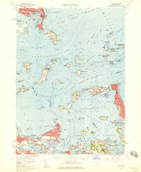
Editions of this 1958 Hull Map
2 editions found
Other maps of this area

1885 · Abington
USGS Topo · 1:62,500

1886 · Dedham
USGS Topo · 1:62,500

1888 · Abington
USGS Topo · 1:62,500

1892 · Boston Bay
USGS Topo · 1:62,500

1893 · Abington
USGS Topo · 1:62,500

1893 · Boston
USGS Topo · 1:62,500

1894 · Dedham
USGS Topo · 1:62,500

1903 · Boston
USGS Topo · 1:62,500

1903 · Boston Bay
USGS Topo · 1:62,500

1919 · Dedham
USGS Topo · 1:62,500