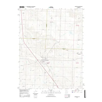
2015 Map of Humansville
USGS Topo · Published 2015About this map
Humansville serves as the central hub of this Missouri landscape, situated where the borders of St. Clair, Hickory, and Polk Counties converge. The town's grid is clearly defined, with Brush Creek flowing past the southern edge of the community near the Humansville Cemetery. To the northeast, the smaller settlement of Flemington sits just across the Hickory County line, while Collins occupies the northwest corner of the map.
Find a feature on this map
85 named features on this map. Tap any name to fly to it.
Don’t see what you’re looking for? This feature index may not catch every label — zoom into the map to look around manually.
Map Details
Editions of this 2015 Humansville Map
This is the sole edition of this map. No revisions or reprints were ever made.
Other maps of this area

1884 · Bolivar
USGS Topo · 1:125,000

1886 · Stockton
USGS Topo · 1:125,000

1892 · Bolivar
USGS Topo · 1:125,000

1938 · Vista
USGS Topo · 1:24,000

1939 · Arnica
USGS Topo · 1:24,000

1940 · Vista
USGS Topo · 1:24,000

1940 · Weaubleau
USGS Topo · 1:24,000

1941 · Arnica
USGS Topo · 1:24,000

1942 · Elkton
USGS Topo · 1:24,000

1944 · Humansville
USGS Topo · 1:24,000