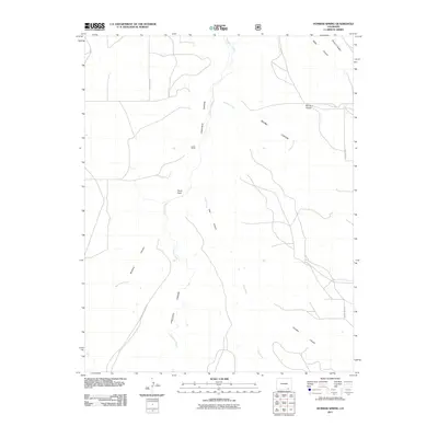
2011 Map of Humbar Spring
USGS Topo · Published 2011About this map
Chacuaco Canyon and Poitrey Canyon dominate this Las Animas County landscape, where deeply incised drainages carve through the high plains. The drainage network is defined by the winding courses of Chacuaco Creek, Poitrey Creek, and Tobe Creek, which dictate the placement of local infrastructure and historic landmarks. The human imprint on this arid environment is sparse, centered around the Linder Camp settlement and a small network of rural routes including County Rd 157. Distinctive geological and land-use markers serve as critical orientation points for the area, most notably the named landforms of Heart Rock, Seven D Pocket, and Bar Four Pocket. These labels suggest a history of ranching and natural landmarks used for navigation across the broken terrain of southern Colorado during the early 21st century.
Find a feature on this map
17 named features on this map. Tap any name to fly to it.
Don’t see what you’re looking for? This feature index may not catch every label — zoom into the map to look around manually.
Map Details
Editions of this 2011 Humbar Spring Map
This is the sole edition of this map. No revisions or reprints were ever made.
Other maps of this area

1891 · Mesa De Maya
USGS Topo · 1:125,000

1893 · Mesa de Maya
USGS Topo · 1:125,000

1955 · La Junta
USGS Topo · 1:250,000

1958 · La Junta
USGS Topo · 1:250,000

1968 · La Junta
USGS Topo · 1:250,000

1972 · Johnson Canyon
USGS Topo · 1:24,000

1972 · Doss Canyon North
USGS Topo · 1:24,000

1972 · Miners Peak
USGS Topo · 1:24,000

1972 · Plum Canyon
USGS Topo · 1:24,000

1972 · Tobe
USGS Topo · 1:24,000