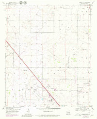
1969 Map of Humble City
USGS Topo · Published 1980About this map
Humble City and the nearby community of Knowles define this section of the High Plains in Lea County, documented here during a period of transition in the late 1960s and 1970s. The landscape is heavily marked by the infrastructure of the Permian Basin's energy and extractive industries, including numerous unnamed wells, a Pumping Sta, and multiple Gravel Pits scattered across the terrain. To the southeast, the expansion of higher education and regional aviation is evident in the proximity of College of The Southwest, New Mexico Junior College, and the Hobbs Industrial Airpark. The map clearly delineates the Texas State Line running along the eastern edge and the Hobbs Corporate Boundary encroaching from the south. Cultural landmarks like the Knowles Cem and Green Meadow Lake provide essential points of reference for genealogists tracing local families in this border region.
Find a feature on this map
18 named features on this map. Tap any name to fly to it.
Don’t see what you’re looking for? This feature index may not catch every label — zoom into the map to look around manually.
Map Details
Editions of this 1969 Humble City Map
4 editions found
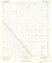
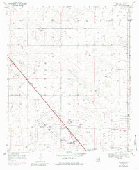
Other maps of this area

1954 · Hobbs
USGS Topo · 1:250,000

1958 · Hobbs
USGS Topo · 1:250,000

1962 · Lovington
USGS Topo · 1:24,000

1962 · Lovington
USGS Topo · 1:62,500

1963 · Monument
USGS Topo · 1:62,500

1969 · Humble City
USGS Topo · 1:24,000

1969 · Hobbs East
USGS Topo · 1:24,000

1969 · Humble City NE
USGS Topo · 1:24,000

1969 · Hobbs West
USGS Topo · 1:24,000

1969 · Humble City SE
USGS Topo · 1:24,000