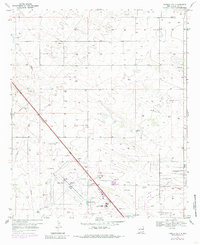
1969 Map of Humble City
USGS Topo · Published 1985About this map
The high plains landscape of Lea County is captured here just as the regional infrastructure around the Hobbs Corporate Boundary began to intensify. Centered on the crossroads of Humble City and the historic settlement of Knowles, the map details a terrain heavily influenced by the oil and gas industry, indicated by numerous unnamed wells and a Pumping Sta. The southern portion of the sheet reveals a burgeoning educational and aviation hub, featuring both the New Mexico Junior College and the College of the Southwest adjacent to the Hobbs Industrial Airpark. These developments, along with the Landing Strips to the north, illustrate the mid-century transition of this ranching country into a modern industrial and academic center.
Find a feature on this map
14 named features on this map. Tap any name to fly to it.
Don’t see what you’re looking for? This feature index may not catch every label — zoom into the map to look around manually.
Map Details
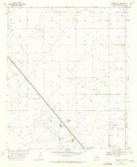
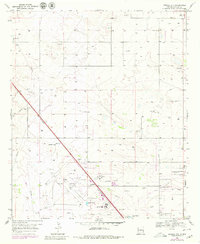
Editions of this 1969 Humble City Map
4 editions found
Other maps of this area

1954 · Hobbs
USGS Topo · 1:250,000

1958 · Hobbs
USGS Topo · 1:250,000

1962 · Lovington
USGS Topo · 1:24,000

1962 · Lovington
USGS Topo · 1:62,500

1963 · Monument
USGS Topo · 1:62,500

1969 · Humble City
USGS Topo · 1:24,000

1969 · Hobbs East
USGS Topo · 1:24,000

1969 · Humble City NE
USGS Topo · 1:24,000

1969 · Hobbs West
USGS Topo · 1:24,000

1969 · Humble City SE
USGS Topo · 1:24,000