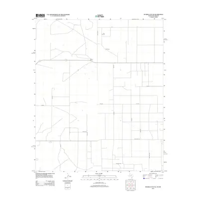
2012 Map of Humble City NE
USGS Topo · Published 2012About this map
Texpac Oil Field anchors the southern portion of this high plains landscape, illustrating the industrial energy footprint along the New Mexico and Texas border. The terrain is defined by a rigid grid of rural infrastructure, where State Line Rd serves as a primary north-south axis. Scattered water resources, vital for cattle ranching in this arid environment, are marked by landmarks such as the West Windmill and Iron Windmill. Residential and agricultural life centers on locations like Waits Ranch, connected by a network of county roads including Co Rd-228 and Co Rd-247. The transition from wide-open ranch land to specialized petroleum extraction is evident in the naming of modern tracks like Flowers Rd and Makaylas Pl, which provide access to the interior of the quadrangle north of Ranch Road 1757.
Find a feature on this map
19 named features on this map. Tap any name to fly to it.
Don’t see what you’re looking for? This feature index may not catch every label — zoom into the map to look around manually.
Map Details
Editions of this 2012 Humble City NE Map
This is the sole edition of this map. No revisions or reprints were ever made.
Other maps of this area

1954 · Hobbs
USGS Topo · 1:250,000

1954 · Brownfield
USGS Topo · 1:250,000

1958 · Brownfield
USGS Topo · 1:250,000

1958 · Hobbs
USGS Topo · 1:250,000

1962 · Brownfield
USGS Topo · 1:250,000

1969 · Humble City
USGS Topo · 1:24,000

1969 · Humble City NE
USGS Topo · 1:24,000

1969 · Humble City SE
USGS Topo · 1:24,000

1970 · Prairieview
USGS Topo · 1:24,000

1970 · Prairieview SE
USGS Topo · 1:24,000