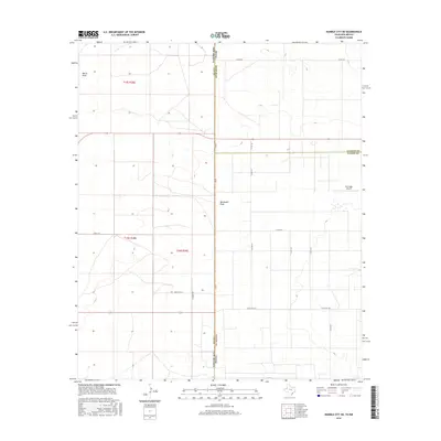
2016 Map of Humble City NE
USGS Topo · Published 2016About this map
The state boundary between Texas and New Mexico defines this high plains landscape where Yoakum and Lea Counties meet. This survey shows a land shaped by drainage patterns and rural infrastructure, centered on the north-south axis of Fm 769 and Cr 251. The terrain is marked by the subtle depressions of Wards Draw and Wardswell Draw, which likely guide seasonal water across the arid cattle country and oil fields characteristic of the Permian Basin.
Find a feature on this map
23 named features on this map. Tap any name to fly to it.
Don’t see what you’re looking for? This feature index may not catch every label — zoom into the map to look around manually.
Map Details
Editions of this 2016 Humble City NE Map
This is the sole edition of this map. No revisions or reprints were ever made.
Other maps of this area

1954 · Hobbs
USGS Topo · 1:250,000

1954 · Brownfield
USGS Topo · 1:250,000

1958 · Brownfield
USGS Topo · 1:250,000

1958 · Hobbs
USGS Topo · 1:250,000

1962 · Brownfield
USGS Topo · 1:250,000

1969 · Humble City
USGS Topo · 1:24,000

1969 · Humble City NE
USGS Topo · 1:24,000

1969 · Humble City SE
USGS Topo · 1:24,000

1970 · Prairieview
USGS Topo · 1:24,000

1970 · Prairieview SE
USGS Topo · 1:24,000