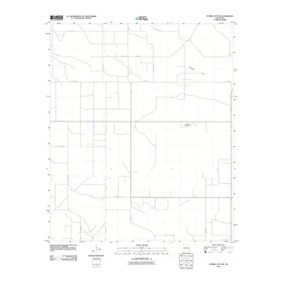
2010 Map of Humble City NW
USGS Topo · Published 2010About this map
Wardswell Draw carves a subtle path through this section of the Llano Estacado, defining the drainage patterns in a landscape dominated by a vast, systematic grid of roads and petroleum infrastructure. This 2010 survey reveals a high-density network of county roads and industrial access paths such as Wilks Rd, Thornhill Rd, and County Rd 88. The map documents the intensive development of the Permian Basin, where the geometric regularity of the section lines is punctuated by numerous small pads and facilities. Local family and place names are preserved in the road network, including Catchings Rd, Knowles Rd, and the Prairieview area. This document serves as a precise record of the land-use patterns and energy-sector footprint in eastern New Mexico during the first decade of the 21st century.
Find a feature on this map
19 named features on this map. Tap any name to fly to it.
Don’t see what you’re looking for? This feature index may not catch every label — zoom into the map to look around manually.
Map Details
Editions of this 2010 Humble City NW Map
This is the sole edition of this map. No revisions or reprints were ever made.
Other maps of this area

1954 · Hobbs
USGS Topo · 1:250,000

1954 · Brownfield
USGS Topo · 1:250,000

1958 · Brownfield
USGS Topo · 1:250,000

1958 · Hobbs
USGS Topo · 1:250,000

1962 · Brownfield
USGS Topo · 1:250,000

1962 · Lovington
USGS Topo · 1:24,000

1962 · Lovington
USGS Topo · 1:62,500

1969 · Humble City
USGS Topo · 1:24,000

1969 · Humble City NE
USGS Topo · 1:24,000

1969 · Humble City SE
USGS Topo · 1:24,000