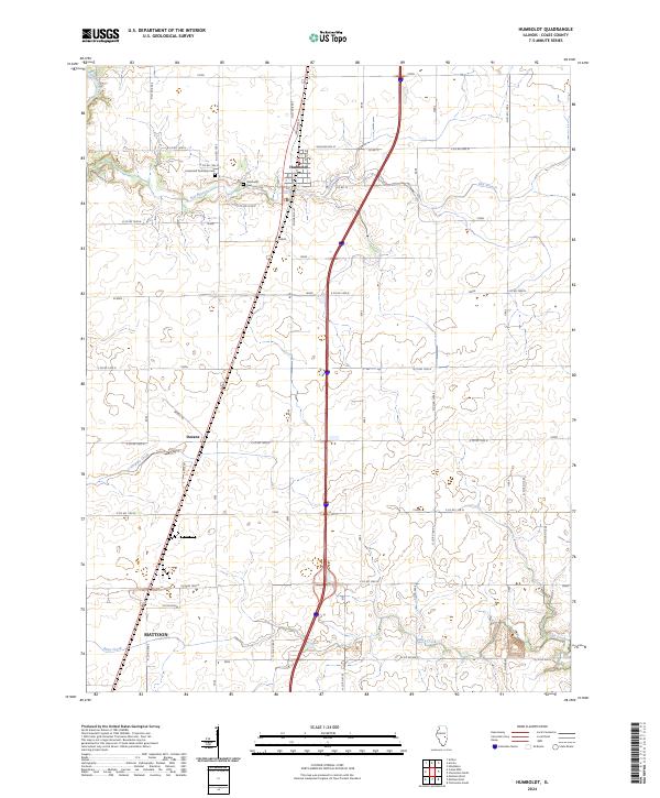
2024 Map of Humboldt
USGS Topo · Published 2024About this map
The agrarian landscape of Coles County is defined by its rectilinear road grid and the winding paths of several key waterways. The settlement of Humboldt serves as the northern anchor, situated along the north-south transit corridor that cuts through the center of the sheet. Further south, the community of Dorans sits near the headwaters of Crabapple Creek, while the northern edge of Mattoon enters the frame in the southwest corner.
Find a feature on this map
37 named features on this map. Tap any name to fly to it.
Don’t see what you’re looking for? This feature index may not catch every label — zoom into the map to look around manually.
Map Details
Editions of this 2024 Humboldt Map
This is the sole edition of this map. No revisions or reprints were ever made.
Other maps of this area

1933 · Toledo
USGS Topo · 1:62,500

1934 · Mattoon
USGS Topo · 1:62,500

1935 · Arcola
USGS Topo · 1:48,000

1936 · Oakland
USGS Topo · 1:48,000

1937 · Mattoon
USGS Topo · 1:62,500

1938 · Toledo
USGS Topo · 1:62,500

1940 · Arcola
USGS Topo · 1:62,500

1942 · Oakland
USGS Topo · 1:62,500

1958 · Decatur
USGS Topo · 1:250,000

1961 · Decatur
USGS Topo · 1:250,000