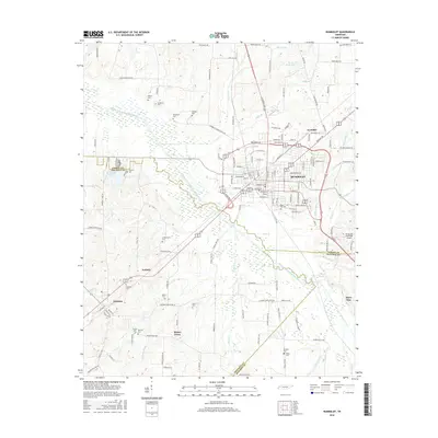
2016 Map of Humboldt
USGS Topo · Published 2016About this map
The city of Humboldt serves as the central hub of this West Tennessee landscape, situated where the borders of Gibson, Crockett, and Madison counties converge. The terrain is defined by the wandering course of the Middle Fork Forked Deer River, which is fed by numerous tributaries including Sugar Cr, Beech Cr, and Duffy Br. This drainage network created a fertile environment for the scattered settlements and agricultural holdings that define the region's history.
Find a feature on this map
155 named features on this map. Tap any name to fly to it.
Don’t see what you’re looking for? This feature index may not catch every label — zoom into the map to look around manually.
Map Details
Editions of this 2016 Humboldt Map
This is the sole edition of this map. No revisions or reprints were ever made.
Other maps of this area

1950 · Jackson North
USGS Topo · 1:24,000

1951 · Jackson North
USGS Topo · 1:24,000

1951 · Trenton
USGS Topo · 1:24,000

1952 · Milan
USGS Topo · 1:24,000

1956 · Blytheville
USGS Topo · 1:250,000

1959 · Medina
USGS Topo · 1:24,000

1959 · Blytheville
USGS Topo · 1:250,000

1959 · Bells
USGS Topo · 1:24,000

1959 · Adair
USGS Topo · 1:24,000

1959 · Humboldt
USGS Topo · 1:24,000