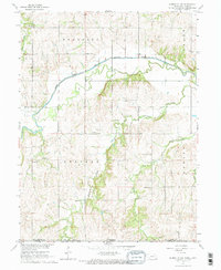
1965 Map of Humboldt SW
USGS Topo · Published 1967About this map
The South Fork Big Nemaha River and the Big Nemaha River converge in this mid-1960s topographic record, defining the agricultural landscape of Richardson Co and Nemaha Co. This area, encompassing parts of Humboldt, Speiser, and Nemaha townships, reveals a well-established rural social network through its numerous local schoolhouses and parish centers. The frequency of names like Dry Branch Sch, Rose Dale Sch, and Union Hill Sch speaks to the decentralized educational system of the era.
Find a feature on this map
25 named features on this map. Tap any name to fly to it.
Don’t see what you’re looking for? This feature index may not catch every label — zoom into the map to look around manually.
Map Details
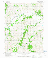
Editions of this 1965 Humboldt SW Map
2 editions found
Other maps of this area

1888 · Hiawatha
USGS Topo · 1:125,000

1889 · Seneca
USGS Topo · 1:125,000

1894 · Seneca
USGS Topo · 1:125,000

1894 · Hiawatha
USGS Topo · 1:125,000

1916 · Humboldt
USGS Topo · 1:62,500

1950 · Kansas City
USGS Topo · 1:250,000

1954 · Kansas City
USGS Topo · 1:250,000

1955 · Manhattan
USGS Topo · 1:250,000

1955 · Nebraska City
USGS Topo · 1:250,000

1955 · Lincoln
USGS Topo · 1:250,000