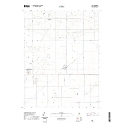
1998 Map of Hume
USGS Topo · Published 2002About this map
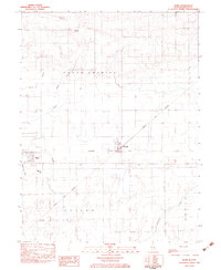
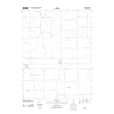
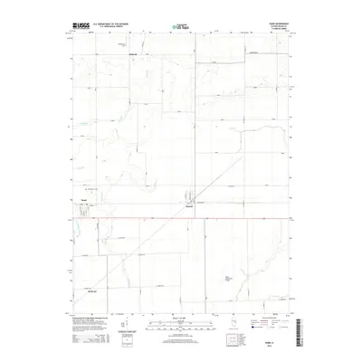
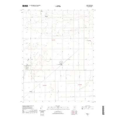
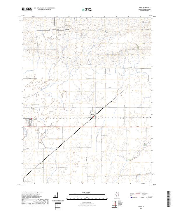
Hume and Metcalf anchor this agricultural landscape in Edgar County, where the transition between the townships of Young America and Shiloh is defined by a network of drainage and small watercourses. The presence of Shiloh Sch and the Young America Cem north of the village provides essential markers for local history and genealogy, documenting the civic and social infrastructure of these rural communities. The terrain is notably etched by the Brushy Fork and Clark Branch, while the Shiloh No 2 Drain illustrates the sophisticated water management required for regional farming. Smaller settlements like Hildreth and Melwood appear alongside the Richardson Landing Strip, suggesting a mix of traditional land use and modern utility at the close of the 20th century.
Find a feature on this map
15 named features on this map. Tap any name to fly to it.
Don’t see what you’re looking for? This feature index may not catch every label — zoom into the map to look around manually.
Map Details
Editions of this 1998 Hume Map
This is the sole edition of this map. No revisions or reprints were ever made.
Historical Maps of Hume Through Time
7 maps found