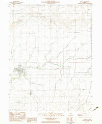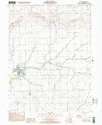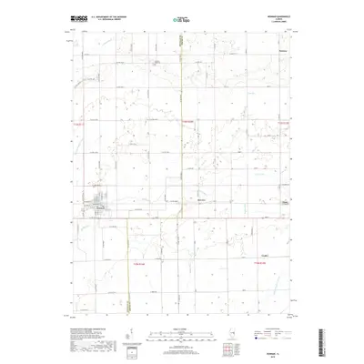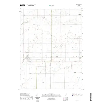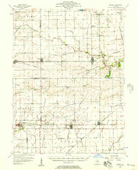
1956 Map of Newman
USGS Topo · Published 1957About this map
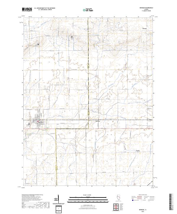
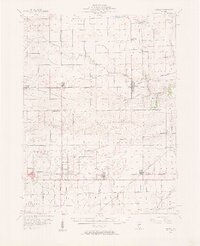
The agricultural landscape of east-central Illinois is defined by the convergence of four counties—Champaign, Vermilion, Douglas, and Edgar—as it appeared in the mid-1950s. The region is anchored by established settlements like Newman and Sidell, where the Baltimore and Ohio and Chicago and Eastern Illinois railroads supported a thriving grain-based economy. Small rural clusters like Maizetown, Palermo, and Hildreth dot the prairie between larger towns, many serving as local social centers around landmarks such as Fairfield Ch and the Jamaica High Sch.
Find a feature on this map
54 named features on this map. Tap any name to fly to it.
Don’t see what you’re looking for? This feature index may not catch every label — zoom into the map to look around manually.
Map Details
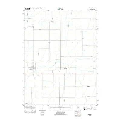
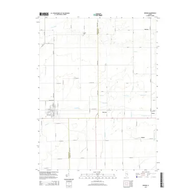
Editions of this 1956 Newman Map
2 editions found
Historical Maps of Newman Through Time
8 maps found