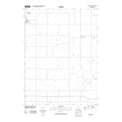
2010 Map of Humeston
USGS Topo · Published 2010About this map
Humeston serves as the primary hub of this rural landscape, situated at the intersection of a well-defined road network and the Railroad right-of-way Public Hunting Area, which follows a former rail corridor. The map reveals a high concentration of ancestral sites, with family-named grounds such as Kirby Cemetery and Greenlee Cemetery scattered across the township lines. Smaller settlements like Cambria, Peoria, and Saxon are spaced across the agricultural interior, connected by a grid of named routes like Summit Rd and Liberty Rd. The natural drainage of the region is defined by the South Fork Chariton River and its tributaries, including Ninemile Creek and Dick Creek, which cut through the farm plots and provide a contrast to the geometric precision of the county roads.
Find a feature on this map
25 named features on this map. Tap any name to fly to it.
Don’t see what you’re looking for? This feature index may not catch every label — zoom into the map to look around manually.
Map Details
Editions of this 2010 Humeston Map
This is the sole edition of this map. No revisions or reprints were ever made.
Other maps of this area

1934 · Humeston
USGS Topo · 1:48,000

1937 · Corydon
USGS Topo · 1:62,500

1954 · Centerville
USGS Topo · 1:250,000

1957 · Centerville
USGS Topo · 1:250,000

1958 · Centerville
USGS Topo · 1:250,000

1964 · Woodland
USGS Topo · 1:24,000

1964 · Allerton
USGS Topo · 1:24,000

1964 · Clio
USGS Topo · 1:24,000
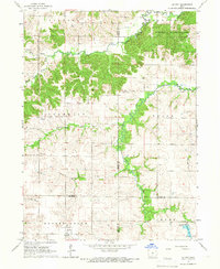
1965 · Le Roy
USGS Topo · 1:24,000
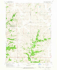
1965 · Garden Grove
USGS Topo · 1:24,000