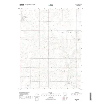
2018 Map of Humeston
USGS Topo · Published 2018About this map
Humeston serves as the primary hub of this Wayne County landscape, with its residential grid organized around streets like Winter St and Spring St. The surrounding countryside is defined by the headwaters of the S Fork Chariton River and tributaries such as Ninemile Cr and Dick Cr. This 2018 survey documents a region where agricultural land use is interwoven with local history, evidenced by several rural burial grounds including Cambria Cem, Kirby Cem, and Greenlee Cem. The topography is subtly marked by areas labeled Timber and Raccoon, while the namesake Wells Field sits near the southern boundary. This map captures the modern township and range divisions, showing the precise layout of section lines and rural routes like Co Rd J22 and Liberty Rd that connect the scattered farmsteads and cemeteries of the prairie.
Find a feature on this map
34 named features on this map. Tap any name to fly to it.
Don’t see what you’re looking for? This feature index may not catch every label — zoom into the map to look around manually.
Map Details
Editions of this 2018 Humeston Map
This is the sole edition of this map. No revisions or reprints were ever made.
Other maps of this area

1934 · Humeston
USGS Topo · 1:48,000

1937 · Corydon
USGS Topo · 1:62,500

1954 · Centerville
USGS Topo · 1:250,000

1957 · Centerville
USGS Topo · 1:250,000

1958 · Centerville
USGS Topo · 1:250,000

1964 · Woodland
USGS Topo · 1:24,000

1964 · Allerton
USGS Topo · 1:24,000

1964 · Clio
USGS Topo · 1:24,000
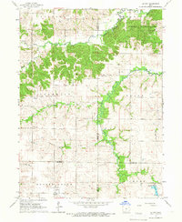
1965 · Le Roy
USGS Topo · 1:24,000
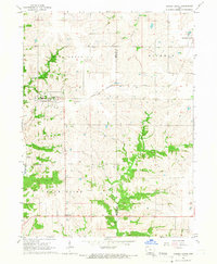
1965 · Garden Grove
USGS Topo · 1:24,000