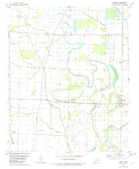
1982 Map of Humnoke
USGS Topo · Published 1982About this map
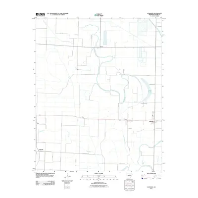
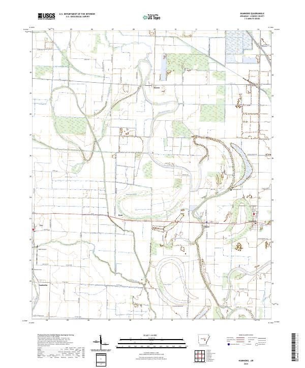
The flat alluvial plains of the Arkansas Grand Prairie are defined here by a network of drainage ditches, siphons, and slow-moving water bodies like Jordan Brake and McGregor Brake. Along the border of Lonoke and Arkansas counties, the settlement of Humnoke serves as a local hub, while smaller communities such as Seaton, Allport, and Tomberlin dot the agricultural landscape. The map reveals a deeply rooted rural community, evidenced by numerous small churches including Oak Grove Ch, Elm Grove Ch, and Perrys Chapel. Local history is preserved at sites like Gumwood Cem, while the winding courses of Crooked Creek and Salt Bayou illustrate the natural hydrology of the region before and during its development into a significant rice and soybean producing area. Numerous landing strips across the quadrangle highlight the importance of crop-dusting and aviation to this mid-century farming economy.
Find a feature on this map
21 named features on this map. Tap any name to fly to it.
Don’t see what you’re looking for? This feature index may not catch every label — zoom into the map to look around manually.
Map Details
Editions of this 1982 Humnoke Map
This is the sole edition of this map. No revisions or reprints were ever made.
Historical Maps of Humnoke Through Time
6 maps found