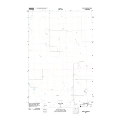
2011 Map of Hump Butte
USGS Topo · Published 2011About this map
Hump Butte stands as the primary landmark in this rural landscape at the border of North Dakota and South Dakota. In the early 21st century, the terrain is defined by a sparse network of section roads like 104th St and 234 Ave, which trace the grid of the Porcupine District. The drainage pattern is shaped by Timber Creek and Plum Creek, with numerous small impoundments reflecting local land management. These include family-named features such as the George Genoff Dam and James Seiler Dam, which create small reservoirs like Mallard Lake. The map illustrates a strictly agricultural and ranching environment where water conservation is critical to the local economy and land use, evidenced by the prevalence of named dams and the seasonal Hump Creek.
Find a feature on this map
13 named features on this map. Tap any name to fly to it.
Don’t see what you’re looking for? This feature index may not catch every label — zoom into the map to look around manually.
Map Details
Editions of this 2011 Hump Butte Map
This is the sole edition of this map. No revisions or reprints were ever made.
Other maps of this area

1953 · McIntosh
USGS Topo · 1:250,000

1954 · Bismarck
USGS Topo · 1:250,000

1958 · Bismarck
USGS Topo · 1:250,000

1958 · McIntosh
USGS Topo · 1:250,000

1971 · Lookout Butte
USGS Topo · 1:24,000

1971 · Lookout Butte SE
USGS Topo · 1:24,000

1972 · McIntosh SW
USGS Topo · 1:24,000

1972 · Morristown SE
USGS Topo · 1:24,000

1972 · Watauga
USGS Topo · 1:24,000

1972 · Hump Butte
USGS Topo · 1:24,000