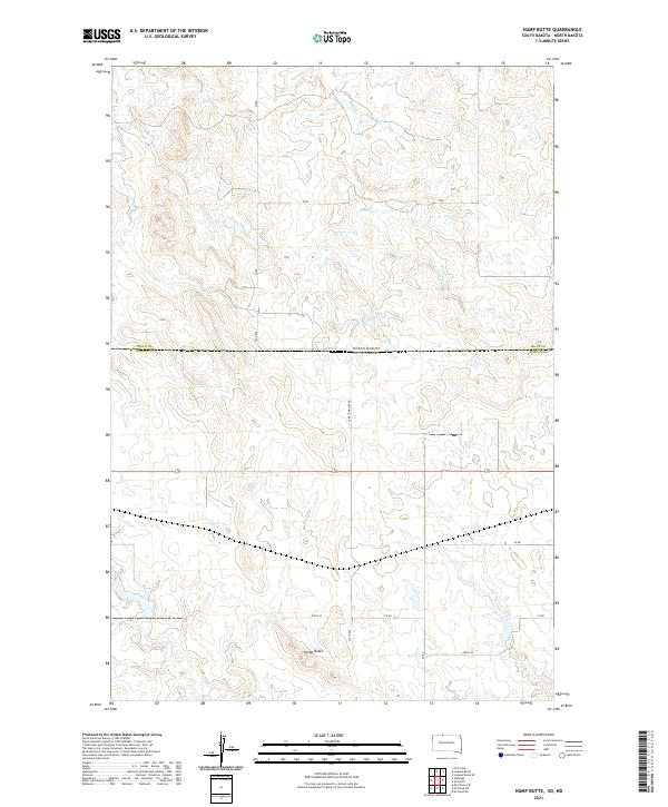
2021 Map of Hump Butte
USGS Topo · Published 2021About this map
Hump Butte stands as the primary landmark of this prairie landscape straddling the boundary between North Dakota and South Dakota. The topography is defined by the drainages of Plum Cr, Hump Cr, and Timber Cr, which carve a network of coulees across the undulating plains. The map illustrates a strictly rural environment governed by the Public Land Survey System, as seen in the prominent township and range lines like t129n r86w and t23n r22e. The transportation network is limited to a grid of section-line roads, including 52nd Ave and Lake Township Rd, reflecting the sparse settlement pattern and agricultural focus of the northern Great Plains in the early twenty-first century.
Find a feature on this map
16 named features on this map. Tap any name to fly to it.
Don’t see what you’re looking for? This feature index may not catch every label — zoom into the map to look around manually.
Map Details
Editions of this 2021 Hump Butte Map
This is the sole edition of this map. No revisions or reprints were ever made.
Other maps of this area

1953 · McIntosh
USGS Topo · 1:250,000

1954 · Bismarck
USGS Topo · 1:250,000

1958 · Bismarck
USGS Topo · 1:250,000

1958 · McIntosh
USGS Topo · 1:250,000

1971 · Lookout Butte
USGS Topo · 1:24,000

1971 · Lookout Butte SE
USGS Topo · 1:24,000

1972 · McIntosh SW
USGS Topo · 1:24,000

1972 · Morristown SE
USGS Topo · 1:24,000

1972 · Watauga
USGS Topo · 1:24,000

1972 · Hump Butte
USGS Topo · 1:24,000