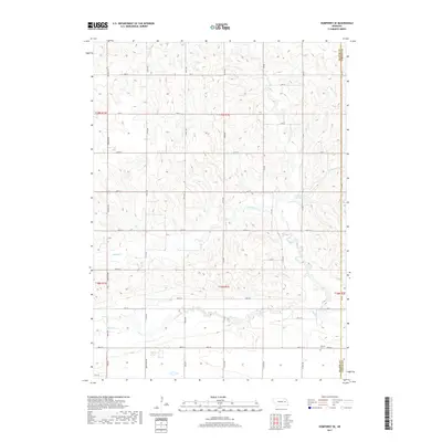
2017 Map of Humphrey SE
USGS Topo · Published 2017About this map
Shell Creek flows through the southern section of this agricultural landscape in Platte County, marking the transition from upland divides to the more level terrain of the creek valley. In the southeastern corner, Calvary Cemetery sits near 280th St, providing a primary point of interest for genealogists and local historians tracking family histories in this rural township.
Find a feature on this map
44 named features on this map. Tap any name to fly to it.
Don’t see what you’re looking for? This feature index may not catch every label — zoom into the map to look around manually.
Map Details
Editions of this 2017 Humphrey SE Map
This is the sole edition of this map. No revisions or reprints were ever made.
Other maps of this area

1899 · David City
USGS Topo · 1:125,000

1955 · Fremont
USGS Topo · 1:250,000

1957 · Fremont
USGS Topo · 1:250,000

1958 · Fremont
USGS Topo · 1:250,000

1958 · Duncan
USGS Topo · 1:24,000

1958 · Columbus
USGS Topo · 1:24,000

1966 · Clarkson SW
USGS Topo · 1:24,000

1966 · Platte Center
USGS Topo · 1:24,000

1966 · Humphrey SE
USGS Topo · 1:24,000

1966 · Creston
USGS Topo · 1:24,000