
1958 Map of Duncan
USGS Topo · Published 1959About this map
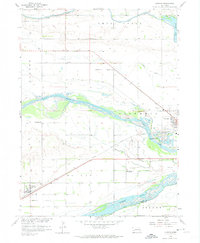
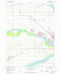
The Loup River and Platte River converge in this central Nebraska river valley, creating a landscape defined by braided watercourses and fertile bottomlands. The town of Duncan sits at a critical junction where the Union Pacific railroad parallels the historic overland routes. The rural character of the late 1950s is evident in the systematic distribution of one-room schoolhouses, including School No 3, School No 16, School No 5, and School No 17, which served the farming families of Butler and Columbus townships. Local industry is marked by numerous Gravel Pits along the river banks, while the presence of the Jackson Cem and the small settlement of Sheldonville provide specific touchpoints for genealogical research. Water management is a prominent theme, shown through the intricate paths of Lost Creek, Shell Creek, and the recreational waters of Wagners Lake and Lake Babcock.
Find a feature on this map
28 named features on this map. Tap any name to fly to it.
Don’t see what you’re looking for? This feature index may not catch every label — zoom into the map to look around manually.
Map Details
Editions of this 1958 Duncan Map
3 editions found
Other maps of this area

1896 · Stromsburg
USGS Topo · 1:125,000

1899 · David City
USGS Topo · 1:125,000

1955 · Fremont
USGS Topo · 1:250,000

1957 · Fremont
USGS Topo · 1:250,000

1958 · Fremont
USGS Topo · 1:250,000

1958 · Monroe
USGS Topo · 1:24,000

1958 · Columbus SW
USGS Topo · 1:24,000

1958 · Silver Creek SE
USGS Topo · 1:24,000

1958 · Columbus SE
USGS Topo · 1:24,000

1958 · Columbus
USGS Topo · 1:24,000