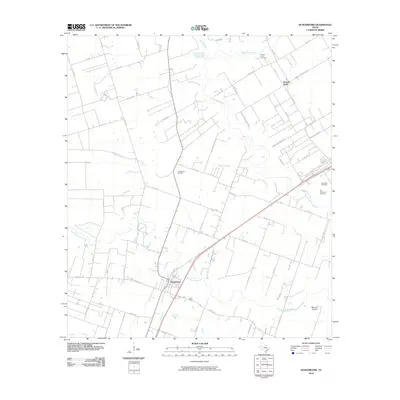
2010 Map of Hungerford
USGS Topo · Published 2010About this map
Hungerford and the nearby Powell Point settlement anchor this study of the coastal prairie near the turn of the 21st century. The landscape is defined by the winding course of the San Bernard River and its numerous tributaries, including Bratcher Slough and Britt Branch. This area reveals a transition between agricultural open space and energy extraction, evidenced by the Hungerford Oil Field. Local history and genealogy are well-represented by several burial sites, such as the Old Kendleton Cemetery and Powell Point Cemetery, which stand alongside the broad expanse of Blossom Prairie. A complex network of county roads and rail corridors connects these rural communities, with West Bernard Creek and Peach Creek draining the southern reaches. The map captures a moment of modern rural infrastructure before later development, preserving the locations of legacy family-named roads like Powell Point School Rd and Mesquite Hills Rd.
Find a feature on this map
61 named features on this map. Tap any name to fly to it.
Don’t see what you’re looking for? This feature index may not catch every label — zoom into the map to look around manually.
Map Details
Editions of this 2010 Hungerford Map
This is the sole edition of this map. No revisions or reprints were ever made.
Other maps of this area

1950 · Houston
USGS Topo · 1:250,000

1952 · Egypt
USGS Topo · 1:24,000

1953 · Kendleton
USGS Topo · 1:24,000

1953 · Wharton
USGS Topo · 1:24,000

1953 · Hungerford
USGS Topo · 1:24,000

1953 · Glen Flora
USGS Topo · 1:24,000

1953 · Boling
USGS Topo · 1:24,000

1953 · Seguin
USGS Topo · 1:250,000

1955 · Richmond
USGS Topo · 1:62,500

1956 · Wallis
USGS Topo · 1:62,500