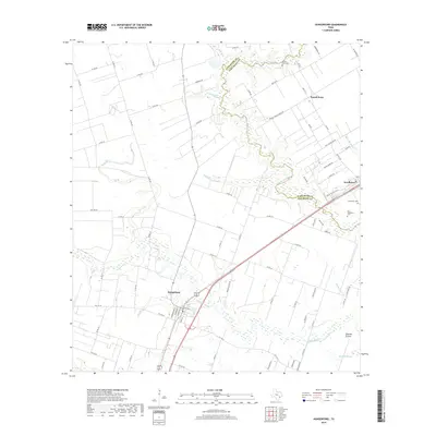
2019 Map of Hungerford
USGS Topo · Published 2019About this map
The San Bernard River winds through the borderlands of Fort Bend and Wharton Counties, defining a landscape of low-lying prairies and seasonal waterways. Near the river's crossing, Kendleton and Hungerford serve as the primary hubs, with the former area featuring several notable burial sites including Kendleton Cem and the Old Kendleton Cem. The surrounding terrain is marked by the expansive Blossom Prairie and a network of sloughs and creeks such as Blossom Slough, Bratcher Slough, and W Bernard Cr.
Find a feature on this map
85 named features on this map. Tap any name to fly to it.
Don’t see what you’re looking for? This feature index may not catch every label — zoom into the map to look around manually.
Map Details
Editions of this 2019 Hungerford Map
This is the sole edition of this map. No revisions or reprints were ever made.
Other maps of this area

1950 · Houston
USGS Topo · 1:250,000

1952 · Egypt
USGS Topo · 1:24,000

1953 · Kendleton
USGS Topo · 1:24,000

1953 · Wharton
USGS Topo · 1:24,000

1953 · Hungerford
USGS Topo · 1:24,000

1953 · Glen Flora
USGS Topo · 1:24,000

1953 · Boling
USGS Topo · 1:24,000

1953 · Seguin
USGS Topo · 1:250,000

1955 · Richmond
USGS Topo · 1:62,500

1956 · Wallis
USGS Topo · 1:62,500