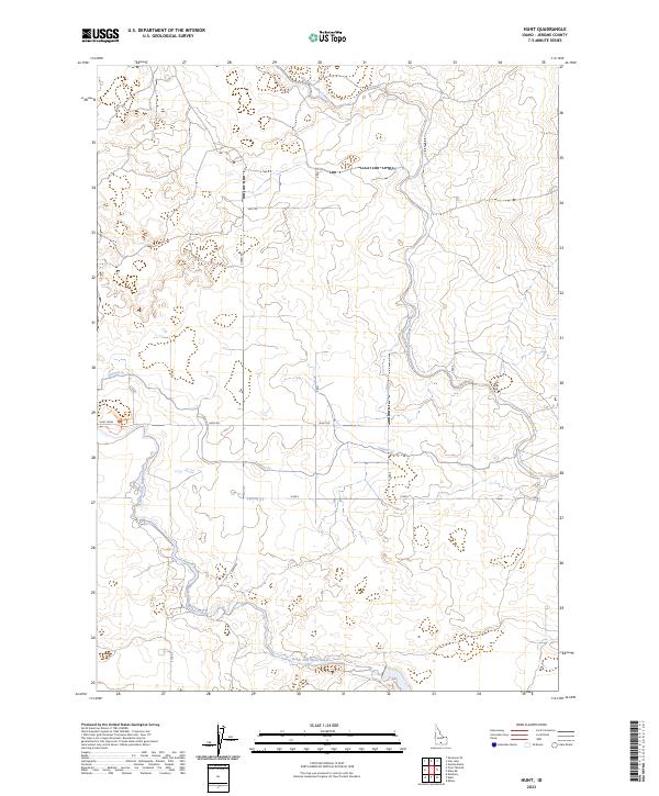
2023 Map of Hunt
USGS Topo · Published 2023About this map
Minidoka National Historic Site anchors the western edge of this Jerome County landscape, preserving the site of the World War II-era incarceration camp. The surrounding terrain is defined by the complex irrigation infrastructure essential to Magic Valley agriculture, featuring the prominent Milner Gooding Canal and the North Side Main Canal. A network of smaller waterways like Lateral 21 cuts through the surveyed sections, following the local topography to support the area's agricultural life. The transportation grid is firmly established by roads such as Hunt Road, S Eden Rd, and East Rd, which segment the land into the predictable squares of the Public Land Survey System. This modern mapping reflects a landscape of heavy human modification where water management and commemorative history intersect.
Find a feature on this map
21 named features on this map. Tap any name to fly to it.
Don’t see what you’re looking for? This feature index may not catch every label — zoom into the map to look around manually.
Map Details
Editions of this 2023 Hunt Map
This is the sole edition of this map. No revisions or reprints were ever made.
Other maps of this area

1955 · Twin Falls
USGS Topo · 1:250,000

1958 · Twin Falls
USGS Topo · 1:250,000

1964 · Kimberly
USGS Topo · 1:24,000

1964 · Eden
USGS Topo · 1:24,000

1964 · Milner
USGS Topo · 1:24,000

1964 · Hazelton NE
USGS Topo · 1:24,000

1964 · Perrine
USGS Topo · 1:24,000

1964 · Hunt
USGS Topo · 1:24,000
1965 · Milner
USGS Topo · 1:24,000

1971 · Shoshone SE
USGS Topo · 1:24,000