2024 Map of Hunt
USGS Topo · Published 2024About this map
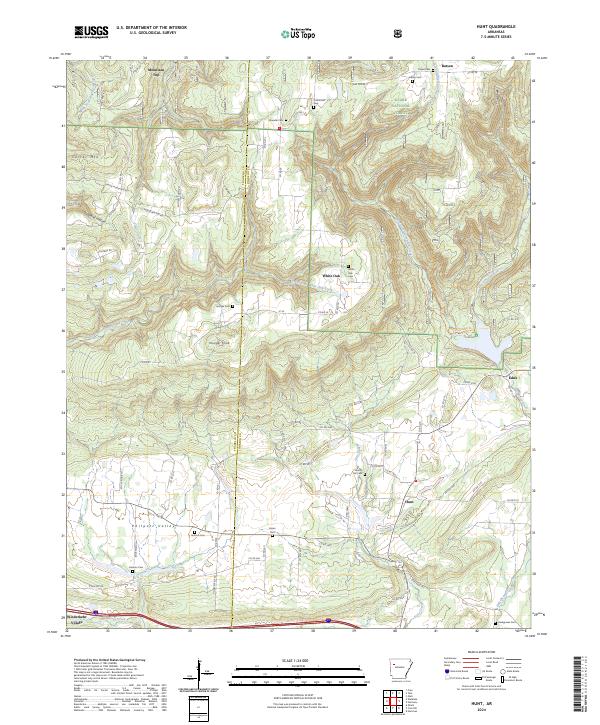
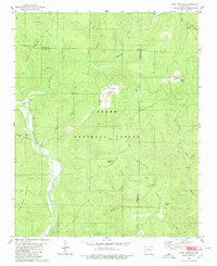
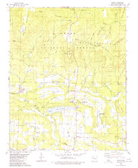
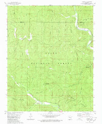
Wiederkehr Village sits at the southwestern corner of this survey, marking a distinct area of settlement where the terrain transitions from the high peaks of the Ozark National Forest toward the lower reaches of McKinney Creek. The landscape is defined by the sharp divide between Franklin and Johnson counties, a boundary that cuts through high elevations like Younger Knob and Mountain Top. The map reveals a deeply etched drainage network, with the headwaters of Dirty Creek, South Fork White Oak Creek, and Horsehead Creek carving through the ridgelines.
Find a feature on this map
78 named features on this map. Tap any name to fly to it.
Don’t see what you’re looking for? This feature index may not catch every label — zoom into the map to look around manually.
Map Details
Editions of this 2024 Hunt Map
This is the sole edition of this map. No revisions or reprints were ever made.
Historical Maps of Edna Through Time
14 maps found

1888 Dardanelle #2
Johnson County, AR

1906 Batson
Johnson County, AR
1963 Harmony
Johnson County, AR
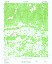
1963 Hunt
Johnson County, AR
1973 Yale
Johnson County, AR
1980 Fort Douglas
Johnson County, AR
1980 Ludwig
Johnson County, AR
1980 Rosetta
Johnson County, AR
2024 Fort Douglas
Johnson County, AR
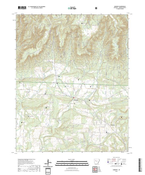
2024 Harmony
Johnson County, AR
2024 Hunt
Johnson County, AR
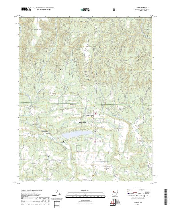
2024 Ludwig
Johnson County, AR
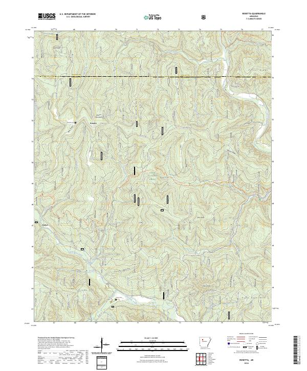
2024 Rosetta
Johnson County, AR
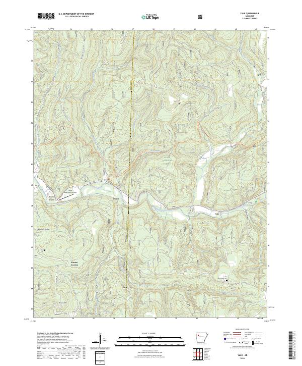
2024 Yale
Johnson County, AR