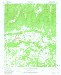
1963 Map of Harmony
USGS Topo · Published 1981About this map
The Ozark National Forest dominates the northern reaches of this region, where high ridges like Chinquapin Ridge and Mc Connell Ridge drop toward the rolling valley of Horsehead Creek. By the early 1960s, this landscape in Johnson County reflected a blend of subsistence farming and active extraction. A significant corridor of Strip Mine activity and various quarries cut across the center of the sheet, illustrating the industrial footprint on the land near Harmony.
Find a feature on this map
47 named features on this map. Tap any name to fly to it.
Don’t see what you’re looking for? This feature index may not catch every label — zoom into the map to look around manually.
Map Details
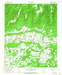
Editions of this 1963 Harmony Map
2 editions found
Other maps of this area

1887 · Magazine Mountain #1
USGS Topo · 1:62,500

1887 · Magazine Mountain
USGS Topo · 1:62,500

1888 · Dardanelle #2
USGS Topo · 1:62,500

1889 · Ozone
USGS Topo · 1:62,500

1890 · Magazine Mountain
USGS Topo · 1:125,000

1890 · Dardanelle
USGS Topo · 1:125,000

1906 · Batson
USGS Topo · 1:62,500

1934 · Ozone
USGS Topo · 1:62,500

1936 · Ozone
USGS Topo · 1:62,500

1956 · Russellville
USGS Topo · 1:250,000