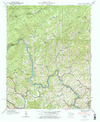
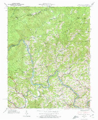
1939 Map of Huntdale
USGS Topo · Published 1974About this map
The Nolichucky River and Cane River carve deep valleys through the Blue Ridge terrain depicted in this 1939 survey. The winding Clinchfield RR follows the water gaps, serving as a vital industrial artery for riverside communities like Huntdale, Relief, and Poplar. Settlement patterns here are tied closely to the river bends and narrow hollows, where local institutions such as Locust Grove Ch, Lower Poplar Sch, and Bee Branch Sch anchored small mountain neighborhoods before post-war demographic shifts.
Find a feature on this map
70 named features on this map. Tap any name to fly to it.
Don’t see what you’re looking for? This feature index may not catch every label — zoom into the map to look around manually.
Map Details
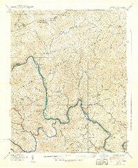
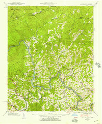
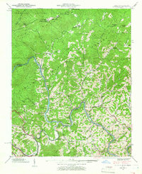
Editions of this 1939 Huntdale Map
5 editions found
Other maps of this area

1891 · Roan Mountain
USGS Topo · 1:125,000

1894 · Roan Mountain
USGS Topo · 1:125,000

1900 · Mount Mitchell
USGS Topo · 1:125,000

1902 · Mount Mitchell
USGS Topo · 1:125,000

1904 · Roan Mountain
USGS Topo · 1:125,000

1934 · Micaville
USGS Topo · 1:24,000

1934 · Bakersville
USGS Topo · 1:24,000

1934 · Iron Mtn Gap
USGS Topo · 1:24,000

1935 · Chestoa
USGS Topo · 1:24,000

1935 · Burnsville
USGS Topo · 1:24,000