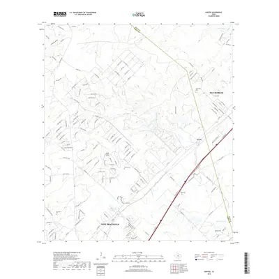
2019 Map of Hunter
USGS Topo · Published 2019About this map
Hunter lies at the center of this landscape, situated along the corridor between the expanding reaches of San Marcos and New Braunfels. The terrain is defined by a series of prominent rises including Trunk Hill, Nail Hill, and Bading Hill, while the eastern portion is drained by York Creek and its tributaries. This 2019 survey documents a region where rural heritage and modern aviation intersect, notably at the Flying R Ranch Airport north of the New Braunfels city limits.
Find a feature on this map
140 named features on this map. Tap any name to fly to it.
Don’t see what you’re looking for? This feature index may not catch every label — zoom into the map to look around manually.
Map Details
Editions of this 2019 Hunter Map
This is the sole edition of this map. No revisions or reprints were ever made.
Other maps of this area

1911 · San Marcos
USGS Topo · 1:125,000

1919 · San Marcos
USGS Topo · 1:125,000

1925 · New Braunfels No 1
USGS Topo · 1:48,000

1925 · Hunter No 3
USGS Topo · 1:48,000

1927 · New Braunfels
USGS Topo · 1:62,500

1929 · Hunter
USGS Topo · 1:62,500

1930 · Seguin
USGS Topo · 1:62,500

1953 · Seguin
USGS Topo · 1:250,000

1954 · San Antonio
USGS Topo · 1:250,000

1957 · San Antonio
USGS Topo · 1:250,000