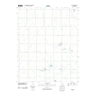
2010 Map of Hunter
USGS Topo · Published 2010About this map
The town of Hunter serves as the focal point for this portion of Garfield County, Oklahoma, situated within a landscape defined by industrial development and agricultural grid lines. This 2010 survey illustrates the extensive energy infrastructure that has long underpinned the local economy, including the West Salt Fork Oil Field in the northeast and the South Hunter Oil and Gas Field further south. These features, along with the Southeast Hunter Oil Field, demonstrate a high density of petroleum extraction activity across the section lines.
Find a feature on this map
31 named features on this map. Tap any name to fly to it.
Don’t see what you’re looking for? This feature index may not catch every label — zoom into the map to look around manually.
Map Details
Editions of this 2010 Hunter Map
This is the sole edition of this map. No revisions or reprints were ever made.
Other maps of this area

1955 · Enid East
USGS Topo · 1:24,000

1955 · Enid
USGS Topo · 1:250,000

1956 · Garber
USGS Topo · 1:62,500

1956 · Enid
USGS Topo · 1:62,500

1958 · Enid
USGS Topo · 1:250,000

1968 · Lamont SE
USGS Topo · 1:24,000

1968 · Lamont NW
USGS Topo · 1:24,000

1968 · Hunter
USGS Topo · 1:24,000

1968 · Kremlin
USGS Topo · 1:24,000

1968 · Lamont
USGS Topo · 1:24,000